


Fichier d’origine (Fichier SVG, nominalement de 1 100 × 721 pixels, taille : 403 kio)
Ce fichier et sa description proviennent de Wikimedia Commons.
Description
| Description |
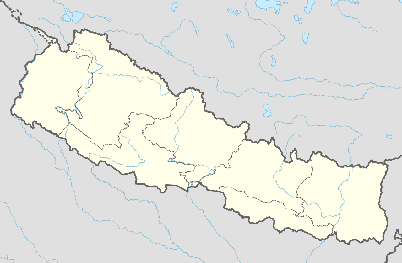
Deutsch: Positionskarte von Nepal
English: Location map of Nepal including the 7 provinces
|
||||||||||||
| Date | |||||||||||||
| Source |
Travail personnel avec:
|
||||||||||||
| Auteur | NordNordWest | ||||||||||||
| Autres versions |
|
||||||||||||


|
Cette carte a été créée ou améliorée dans le Kartenwerkstatt (Atelier cartographique allemand). Vous pouvez également y proposer des cartes à améliorer.
|
Conditions d’utilisation
Usage de cette carte :

Pour un usage gratuit, je recommande de respecter les conditions suivantes de la licence :
1. Inclure mon nom comme indiqué ci-dessus : NordNordWest,
2. une copie ou l'adresse Internet (Identifiant Uniforme de Ressource) du contrat : https://creativecommons.org/licenses/by-sa/3.0/de/legalcode,
3. le titre de l’œuvre originale,
4. dans le cas d'une œuvre dérivée, indiquer les éléments identifiant l'utilisation de l’œuvre dite dérivée.
En cas de manquement aux conditions de la licence, les droits d'utilisation expirent automatiquement. Si vous avez des questions ou désirez des conditions différentes, merci de me contacter par courriel à l'adresse nnwest, ou sur ma page de discussion.
![]() t-online.de
t-online.de
- Vous êtes libre :
- de partager – de copier, distribuer et transmettre cette œuvre
- d’adapter – de modifier cette œuvre
- Sous les conditions suivantes :
- paternité – Vous devez donner les informations appropriées concernant l'auteur, fournir un lien vers la licence et indiquer si des modifications ont été faites. Vous pouvez faire cela par tout moyen raisonnable, mais en aucune façon suggérant que l’auteur vous soutient ou approuve l’utilisation que vous en faites.
- partage à l’identique – Si vous modifiez, transformez, ou vous basez sur cette œuvre, vous devez distribuer votre contribution sous la même licence ou une licence compatible avec celle de l’original.

Historique du fichier
Cliquer sur une date et heure pour voir le fichier tel qu'il était à ce moment-là.
| Date et heure | Vignette | Dimensions | Utilisateur | Commentaire | |
|---|---|---|---|---|---|
| actuel | 2 juin 2020 à 19:59 | | 1 100 × 721 (403 kio) | NordNordWest | corr |
| 22 mars 2020 à 19:13 |  | 1 100 × 721 (401 kio) | NordNordWest | corr | |
| 20 novembre 2019 à 18:50 |  | 1 100 × 721 (398 kio) | NordNordWest | corr | |
| 2 juin 2018 à 23:07 |  | 1 100 × 721 (399 kio) | NordNordWest | == {{int:filedesc}} == {{Information |description= {{de|1=Positionskarte von Nepal}} {{en|1=Location map of Nepal}} {{Location map series N |stretching=114 |top=31.0 |bottom=26.0 |left=79.8 |right=88.5 }} |source={{Own using}} * United States National Imagery and Mapping Agency data |date=2018-06-02 |author={{U|NordNordWest}} |permission= |other_versions= }} {{Kartenwerkstatt}} == {{int:license-header}} == {{User:NordNordWest/LicenceMap}} Category:Location maps of Asia (series N) [[Cate... |
Utilisation du fichier
Plus de 100 pages utilisent ce fichier. La liste suivante affiche seulement les 100 premières pages qui utilisent ce fichier. Une liste complète est disponible.
- Ambassade de France au Népal
- Aérodrome de Jomsom
- Aéroport de Bhâratpur
- Aéroport de Pokhara
- Aéroport international Tribhuvan
- Babala
- Baglung
- Bandipur
- Bannatoli
- Baramchi
- Besisahar
- Bhaktapur
- Bhatgaon
- Bhojpur (Népal)
- Bhâratpur (Népal)
- Bidur
- Biratnagar
- Birendranagar
- Birganj
- Bodnath
- Butwal
- Chainpur
- Chame (Népal)
- Chandragadhi
- Charikot
- Chautara
- Chobhar
- Collège Saint-Xavier de Godavari
- Daakchyo
- Dhangadhi
- Dhankuta
- Dharan
- Dhunche
- Diktel
- Dingboche
- Dulikhel
- Dunai
- Dungegadi
- Gaur (Népal)
- Gorkha
- Gularia
- Hetauda
- Ilam (Népal)
- Inaruwa
- Itahari
- Jaleshwor
- Janaki Mandir
- Janakpur
- Janalikot
- Jomoson
- Jorsale
- Kalaiya
- Katmandou
- Khandbari
- Khumbu
- Khumjung
- Kirtipur
- Lalitpur
- Leknath
- Livang
- Lo Mantang
- Lukla
- Lumbini
- Madhyapur Thimi
- Malangwa
- Malatikot
- Mangalsen
- Manma
- Marpha
- Martadi
- Mechinagar
- Nagarkot
- Namche Bazar
- Nepalganj
- Okhaldhunga
- Panauti
- Pangbotchi
- Pokhara
- Pont de Chandani Dodhara
- Pont de Karnali
- Rajbiraj
- Ramechhap
- Ratmate
- Rivan
- Saison d'alpinisme 1996 sur l'Everest
- Salleri
- Sandhikharka
- Siddharthanagar
- Simikot
- Siraha
- Stade Dasarath-Rangasala
- Taksar
- Tamghas
- Tansen (Népal)
- Tikapur
- Triyuga
- Tulsipur
- Vol Yeti Airlines 103
- Modèle:Géolocalisation/Népal
- Modèle:Géolocalisation/Népal/Documentation
Voir plus de liens vers ce fichier.
Usage global du fichier
Les autres wikis suivants utilisent ce fichier :
- Utilisation sur ab.wikipedia.org
- Utilisation sur af.wikipedia.org
- Utilisation sur an.wikipedia.org
- Utilisation sur azb.wikipedia.org
- Utilisation sur az.wikipedia.org
- Utilisation sur ban.wikipedia.org
- Utilisation sur bcl.wikipedia.org
- Utilisation sur be.wikipedia.org
- Utilisation sur bg.wikipedia.org
- Utilisation sur bh.wikipedia.org
Voir davantage sur l’utilisation globale de ce fichier.