


Taille de cet aperçu : 800 × 575 pixels. Autres résolutions : 320 × 230 pixels | 640 × 460 pixels | 1 024 × 736 pixels | 1 280 × 920 pixels | 2 560 × 1 841 pixels | 2 872 × 2 065 pixels.
Fichier d’origine (2 872 × 2 065 pixels, taille du fichier : 364 kio, type MIME : image/png)
Ce fichier et sa description proviennent de Wikimedia Commons.
- Source :
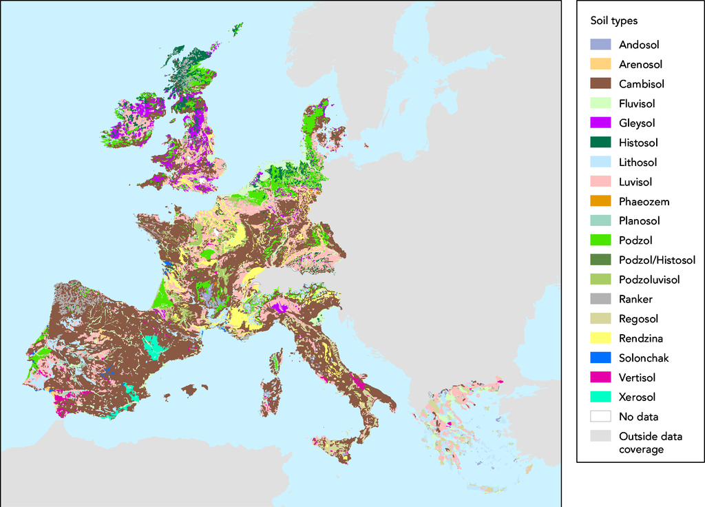
- The map was made on data in GISCO delivery 12-2002 which was slightly revised compared to the available dataset (GISCO delivery 09-2000).
- Date:
- 05/03/2003
- Keyword(s):
- desertification,soil,geographic,DISMED Natlan.
- Type:
- Map
- Technical producer:
- European Environment Agency
- http://www.eea.eu.int copie d'archive sur Wayback Machine
- View the full description here:
This image is in the public domain because it is extracted from the European Environment Agency Website, whose material is in the public domain unless otherwise stated (see the copyright notice). Online access: www.eea.eu.int
This is valid despite the copyright notice at the bottom of each page, see this confirmation e-mail. | |
Historique du fichier
Cliquer sur une date et heure pour voir le fichier tel qu'il était à ce moment-là.
| Date et heure | Vignette | Dimensions | Utilisateur | Commentaire | |
|---|---|---|---|---|---|
| actuel | 27 novembre 2005 à 17:44 | | 2 872 × 2 065 (364 kio) | Tvpm | *Source : ::The map was made on data in GISCO delivery 12-2002 which was slightly revised compared to the available dataset (GISCO delivery 09-2000). *Date: ::05/03/2003 *Keyword(s): ::desertification,soil,geographic,DISMED Natlan. *Type: ::Map *Technical |
Utilisation du fichier
Les 2 pages suivantes utilisent ce fichier :
Usage global du fichier
Les autres wikis suivants utilisent ce fichier :
- Utilisation sur ca.wikipedia.org
- Utilisation sur de.teknopedia.teknokrat.ac.id
- Utilisation sur et.wikipedia.org
- Utilisation sur nl.teknopedia.teknokrat.ac.id