| Ochtendung | |||

| |||
 Armoiries |
|||
| Administration | |||
|---|---|---|---|
| Pays | |||
| Land | |||
| Arrondissement (Landkreis) |
Mayen-Coblence | ||
| Bourgmestre (Ortsbürgermeister) |
Rita Hirsch | ||
| Partis au pouvoir | SPD | ||
| Code postal | 56299 | ||
| Code communal (Gemeindeschlüssel) |
07 1 37 080 | ||
| Indicatif téléphonique | 02626 | ||
| Immatriculation | MYK | ||
| Démographie | |||
| Population | 5 593 hab. () | ||
| Densité | 232 hab./km2 | ||
| Géographie | |||
| Coordonnées | 50° 20′ 53″ nord, 7° 23′ 23″ est | ||
| Altitude | 200 m |
||
| Superficie | 2 408 ha = 24,08 km2 | ||
| Localisation | |||
| Géolocalisation sur la carte : Allemagne
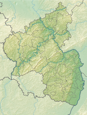
Géolocalisation sur la carte : Rhénanie-Palatinat
| |||
| Liens | |||
| Site web | www.ochtendung.de | ||
| modifier |
|||
Ochtendung est une municipalité du Verbandsgemeinde Maifeld, dans l'arrondissement de Mayen-Coblence, en Rhénanie-Palatinat, dans l'ouest de l'Allemagne.
Illustrations
[modifier | modifier le code]-
Tumulus d'Ochtendung
Liens externes
[modifier | modifier le code]
- (de) Site officiel


