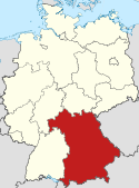
 |
|
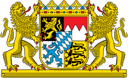 |
|---|
Histoire


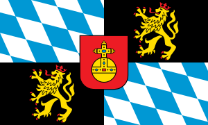
- Germanie - Premiers peuplements
- Empire romain - Tentative d'intégration au monde romain
- Premier duché de Bavière - Germanisation de la région
- Saint-Empire romain germanique - Union des peuples germains
- Royaume de Bavière - Indépendance et montée en puissance
- Empire allemand - Union des États allemands
- République de Weimar - Intégration à l’Allemagne moderne
- Troisième Reich - Patrie du national socialisme
- Allemagne de l'Ouest - Développement industriel
Voir l’article et la chronologie
Géographie
Districts (Regierungsbezirke)
| Districts | Blason | Capitale | Superficie | Population | Densité | Carte des districts de Bavière |
| District de Haute-Bavière, Oberbayern | Munich | 17 529,63 km2 | 4 232 962 | 241,5 |  | |
| District de Basse-Bavière, Niederbayern | Landshut | 10 329,91 km2 | 1 197 631 | 115,9 | ||
| District du Haut-Palatinat, Oberpfalz | Ratisbonne | 9 691,03 km2 | 1 090 318 | 112,5 | ||
| District de Haute-Franconie, Oberfranken | Bayreuth | 7 231,00 km2 | 1 103 239 | 152,6 | ||
| District de Moyenne-Franconie, Mittelfranken | Ansbach | 7 244,85 km2 | 1 708 841 | 235,9 | ||
| District de Basse-Franconie, Unterfranken | Wurtzbourg | 8 530,99 km2 | 1 342 308 | 157,3 | ||
| District de Souabe, Schwaben | Augsbourg | 9 992,03 km2 | 1 789 698 | 179,1 |
 |
 |
 |
 |
 |
Politique
|
 |
Portails connexes
Portails connexes sur Wikipédia
|
Sur les autres projets Wikimedia
| |||||||||||||||


